
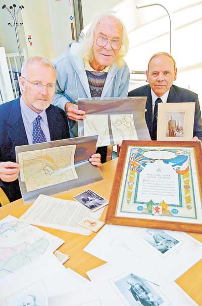
Rare maps of Haven fortifications which were never constructed have been acquired for Pembroke Dock's Gun Tower Museum.
The museum has added significantly not only to its collection, but to local knowledge of what might have been in the 'Fortified Haven'.
The coloured maps - dating from the 18th century - are of 'Nailand Point' (Neyland), 'West Lanyon Point' (now known as Hobbs Point) and of Paterchurch, the original name of the area on which Pembroke Dock now stands.
It is thanks to historian Mike Bennett, of Roch, that the museum has been able to purchase these maps.




Mike was told of their existence by a dealer and arranged to bring them to the museum.
Said curator Ron Watts: "This is something of a coup for us. These maps date from the late 18th century and are in remarkable condition.
"The Haven was heavily fortified in the Victorian era, but these plans pre-date that time by several decades."
As well as giving a lead into acquiring the maps, Mike has donated several artefacts from his own collection for the Gun Tower.
"I am delighted that the Gun Tower Museum now has these maps and I am pleased to pass on other items which have come my way recently," said Mike. "These include a scroll for a World War I soldier, documents from local businesses and photographs taken by long forgotten Pembroke Dock photographers."