

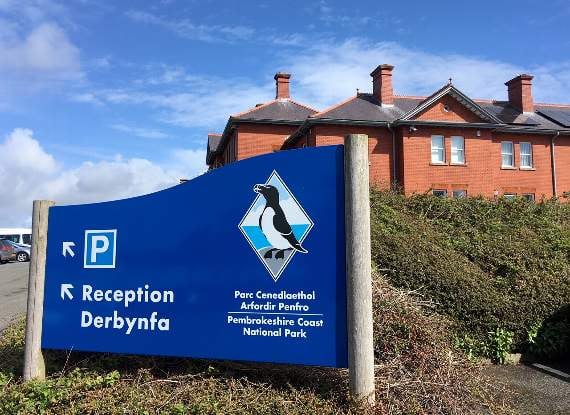
Plans to extend the existing boundary of the conservation area in Tenby look set to be approved next week.
A report seeking approval for extending the existing boundary of Tenby Conservation Area is set to go before the Pembrokeshire Coast National Park Authority next Wednesday, following public consultation which started last year, which included two ‘open days’ held at the town’s Augustus Place Community Centre.
The conservation area boundary for Tenby has been recently reviewed and it is proposed to significantly extend the conservation area to the west to include the Southcliffe area, important outlying streets, the Old Rectory and the Cemetery.
“The proposed extensions include the best-preserved later C19 (post-railway) development of the town, a phase under-represented within the existing boundary,” states the Authority’s building conservation officer Rob Scourfield in his report.


“Much of the proposed area includes speculative development, artisan housing and the two main Nonconformist Chapels, a telling contrast to the sea-front terraces and the commercial town centre. The cemetery area provides an attractive setting for the conservation area, as well as being of obvious social importance.
“Most of the buildings in the proposed extension are not listed, but retain their form and settings well. The main threats are alteration from householder permitted development rights including alterations of historic fenestration, removal of front boundaries and provision of hard-standings.
“Inclusion within the conservation area would ensure that such buildings would be regularly monitored. An Article 4(2) Direction control could be introduced if there is a real and specific threat to the historic character,” continued Mr. Scourfield.
The land proposed for inclusion includes: The Southcliffe area including Victoria Street, Picton Terrace, Sutton Street, Southcliffe Street, Picton Road, Culver Park and St Florence Parade; Trafalgar Road, Church Park, Harries Street, Queens Parade, Battery Road and the Rectory Field; South Parade, north-east part of Warren Street, Clareston Road (north side), Weston Terrace, White Lion Street, Deer Park and Rocky Park; Outlying streets including St John’s Hill (north), The Green, Greenhill Avenue and Greenhill House (Library and Further Education Centre); The Old Rectory, part of Narberth Road, 1 – 3 Westfield Drive, Tenby Cemetery and land to the east of Slippery Back.
The proposed extension is a result of a joint project between the National Park Authority and a working group specially elected by Tenby Town Council, including members of Tenby Civic Society.
“Despite the level of consultation, only nine responses have been received, in the form of support or general questions - none of the responses received were negative,” added Mr. Scourfield, who recommended that the reviewed boundary be formally amended as set out in his report.
Comments
This article has no comments yet. Be the first to leave a comment.